
2-Week USA West Coast Itinerary for Budget Travelers
This post contains affiliate links. As an Amazon Associate, we earn from qualifying purchases.
A 2-week USA West Coast itinerary for budget travelers runs roughly 1,400 to 1,500 miles, and the single variable that decides your route is Tioga Road through Yosemite, which closes from November through late May or June. Build the loop around that closure window and the rest is sequencing.
The mileage figure comes from published route logs, and it assumes you’re not adding side trips. Most people do. Budget 1,500 to 2,000 miles once you account for detours into parks, viewpoint spurs, and the wrong turn you’ll take outside Monterey.
Here’s what the route actually asks of you: a hard seasonal decision at the front, a road-status check you have to repeat weekly, and a budget that four different sources price four different ways. I’ll walk through all three, then hand you a day-by-day plan you can move around.
Key Takeaways
- Winter trips reroute via Lake Tahoe and Highway 140.
- Check Caltrans QuickMap the night before you drive it, not the week before.
- Published 2-week budgets range from $1,500 to $6,400, because they’re pricing different transport modes. Pick your mode first, then your number.
- That’s a real undercount, not a rounding error.
Why the Route Direction Matters More Than the Route
Drive south. You want the ocean on your right shoulder so you can pull into viewpoints without crossing traffic, and the morning fog on the Big Sur stretch usually clears by late morning with the sun behind you for photos.
That advice isn’t universal. One set of route planners builds the whole trip as an open-jaw LA-to-San Francisco run, which flips the driving direction and puts you on the inland side of Highway 1 for the coast section. Both work. The southbound version is simply easier on a budget traveler who’s doing all the driving solo.
The 2-week USA West Coast itinerary for budget travelers question also decides your flights. An open-jaw ticket, into one city and home from the other, avoids the San Francisco parking problem entirely. Downtown hotel parking in that city often runs $50 or more a night, and the hills are a rough place for your first drive on the right side of the road.
A continuous coast road through Big Sur was restored on 14 January 2026 after Caltrans reopened the section at Regent’s Slide. The corridor had been severed for almost three years. Winter storms and wildfire closures remain routine on the same stretch, and one-way traffic control near Torre Canyon added delays of up to about 20 minutes in autumn 2026.
That’s the honest state of the road. It’s open, it’s spectacular, and it’s weather-sensitive infrastructure. Treat it like a braise: you can’t rush the sear, and you can’t open the lid every five minutes to check. Check the status, commit, and drive.
What Does a 2-Week West Coast Trip Actually Cost?
Four published sources price this trip at four different numbers, and none of them are wrong. They’re just pricing different things.
| Source | Figure | What It Prices |
|---|---|---|
| twoweektraveller | $1,500–$2,000 | Affordable tier, per person |
| hostelz | $1,642 total | 18-day Seattle to San Diego, roughly $91/day |
| sydneyandavis | $3,500–$4,500 | Van life, two people |
| loudavymkrokem | €1,950–€5,000 | Budget through comfort, per person |
The spread isn’t sloppiness. A hostel-hopping bus traveler and a two-person van lifer are running different trips with the same name. Pick your transport mode before you pick a budget target, because that’s the variable doing most of the work.
Fuel sits in the middle of all of it. California pump prices fluctuate hard, and published estimates land between $4 and $6 per gallon. At 20 MPG across 1,400 miles, one van-life cost log put fuel at $250 to $300 for the trip. Your number moves with the pump, not with your planning.
Common mistake: Budgeting food at restaurant prices without adding sales tax and tip. Sales tax starts at 7.25% and runs over 9% in Los Angeles and San Francisco. Restaurant tipping runs 18 to 22%. Both are excluded from most published food figures, so a $50 daily food budget is closer to $62 out the door.
The park fees are the one line item that behaves predictably. A seven-day vehicle pass at most major parks runs $35, and the America the Beautiful annual pass costs $80. If you’re hitting three or more fee parks, the annual pass pays for itself and then some.
One correction to the standard advice here: overseas visitors aged 16 and over now pay a $100 per-person surcharge at Yosemite and Sequoia on top of the vehicle fee, unless they hold the non-resident annual pass at $250. If that’s you, the pass math changes completely.
When Should You Go, and Which Route Does That Give You?
The season picks your route. There’s no way around this one, and it’s the decision most itinerary blogs bury under a list of stops.
Tioga Road, the Highway 120 crossing through Yosemite, usually opens in late May or June and closes for the season in November. In 2026 it opened on 15 May, and the park announced a temporary closure from 21 October because of forecast snow, earlier than the typical November seasonal closure. That’s your window, and it’s narrower than the calendar suggests.
With Tioga open, the summer loop works as written. Lake Tahoe to Yosemite is about 198 miles and 4 hours 30 minutes. The neat version runs San Francisco to Tahoe for one night at Emerald Bay, then into Yosemite via Tioga Pass.
When Tioga is closed, that same drive takes over five hours and rarely makes sense on a two-week trip.
Shoulder season is the sweet spot if you can move your dates. Summer brings fog on the northern California coast, which some people love and others find genuinely frustrating.
Worth knowing before you start: The summer route that schedules a Death Valley day in May through October is running against the land manager’s own guidance. NPS explicitly warns against summer visits because of extreme heat. The winter version of the same route correctly calls the temperatures pleasant. Same park, opposite advice, and the agency is the one to follow.
The 14-Day Route, Built Around Four Hours of Driving
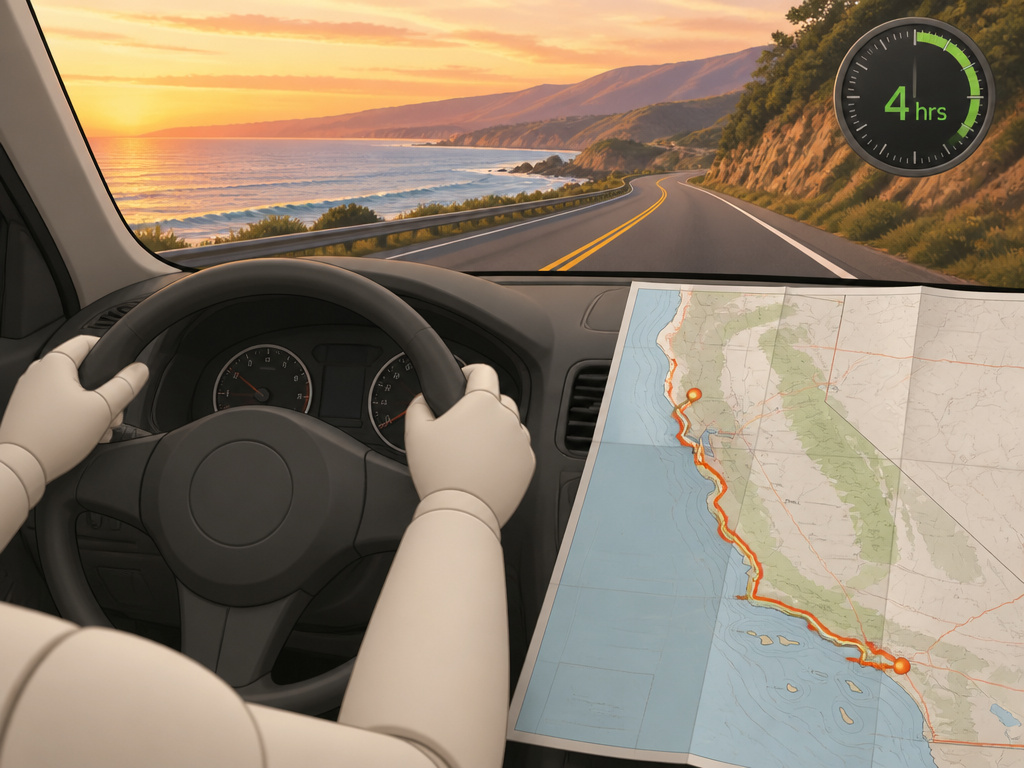
Daily mileage is the wrong planning unit. Daily experience is the right one. Plan around what you’ll actually do at each stop, then let the driving fit around it, because a trip built on mileage targets lands you at every destination too tired to enjoy it.
Here’s the shape, with the seasonal fork built in.
Days 1-2: San Francisco. No car. Pick it up on the morning of day three. Ride a cable car over Nob Hill, walk the Embarcadero to the Ferry Building, see the Golden Gate Bridge from Baker Beach. Book Alcatraz ahead if you want it, because summer tickets sell out days or weeks in advance.
Stop at Tunnel View on Highway 41 for the classic El Capitan and Half Dome view. Day four is your bigger walk. The Mist Trail to Vernal Fall is steep but short enough for most fit walkers.
That’s the longest driving day on the trip. Monterey Bay Aquarium in the morning when it’s quieter, then the 17-Mile Drive through Pebble Beach, finishing in Carmel-by-the-Sea.
Allow a full day. Fill up before you leave Carmel, because there are almost no towns, few petrol stations, and little phone signal between the two.
Short day, plenty of optional stops. Pismo Beach, the Santa Ynez Valley vineyards, Solvang if you want the Danish windmill detour.
From there you’ve got a choice: Joshua Tree and Death Valley if it’s winter, or more coast if it isn’t.
The Winter Reroute, If Tioga Is Closed
Skip the Sierra crossing entirely. Run San Francisco to Lake Tahoe for a night, then down Highway 140 into Yosemite via Mariposa. It adds a day and it changes the loop’s shape, but it’s the only route that works when the pass is snowed in.
The Van Life Variant
Free camping runs at $0 and serviced sites run $10 to $50 a night. Over two weeks, that swing is roughly $1,000, which is the single biggest budget lever in this whole article. If you’re pricing a van trip, price the camping mix before you price anything else.
Where this goes sideways: Booking a rental car for a summer trip less than three months out. Peak-season vehicles and popular park campsites get reserved far earlier, and the booking window at places like Yosemite opens months ahead. Late booking doesn’t just cost more; it costs you the site you wanted.
Do You Need a Car for This Route?
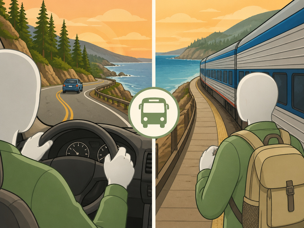
For the coast and the national parks, yes. San Francisco is the exception, and it’s a real one.
If you’d rather skip the rental entirely, a car-free California route is genuinely workable, and the state’s rail corridors do more of the heavy lifting than most people assume. Amtrak’s Coast Starlight and Pacific Surfliner both run the coast, and buses fill the gaps between the main cities.
The tradeoff is reach. Yosemite has YARTS bus service from Merced into the valley, which solves the park access problem. Big Sur, Point Lobos, and the 17-Mile Drive don’t have an equivalent, and those are the stretches people plan the whole trip around.
It changes which stops are realistic and which ones you’ll be admiring from a window.
The Budget Levers That Actually Move the Number
Three things do most of the work on a 2-week USA West Coast itinerary for budget travelers, and none of them are about skipping meals.
Camping mix. Free dispersed camping versus serviced sites is the $1,000 swing I mentioned above. It’s also the lever most budget guides skip, because it’s not glamorous.
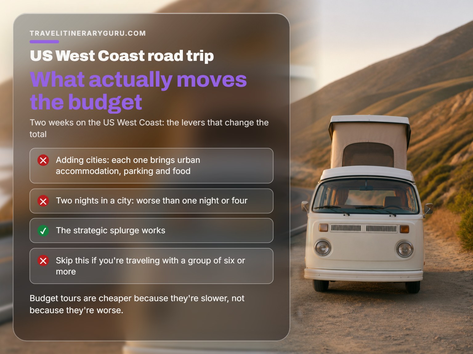
City count. Every city you add brings accommodation, parking, and food at urban prices. Two nights in a city is almost always worse than one night or four, and the middle ground is where budgets quietly die.
One thing I’d tell you straight: I’m genuinely bad at pricing luxury travel. I default to mid-range and budget options because that’s where I’m comfortable, so if you want five-star hotels and private guides, my numbers here are thinner than they should be. What I can tell you is that the strategic splurge works.
Skip this if: You’re traveling with a group of six or more. Group dynamics change the logistics of everything, and the per-person cost drops on a budget group tour, but the daily pace drops with it. Budget tours are cheaper because they’re slower, not because they’re worse. If your group has one chronically late person and one chronically annoyed person, decide in advance which one you’re going to be and pack snacks accordingly.
Frequently Asked Questions
Is the 2-week West Coast route doable without a car?
Partially. San Francisco works on foot and public transit, and Amtrak’s Coast Starlight and Pacific Surfliner cover the coast between the main cities. Yosemite is reachable by YARTS bus from Merced. What you lose is Big Sur, Point Lobos, and the 17-Mile Drive, which have no equivalent public transit and are the reason most people take this trip.
How much should I budget per day?
Published per-person figures land between roughly $91 and $200 a day depending on transport mode and city count. That range is real, not a hedge. Pick your mode first, then use the daily figure that matches it. Add sales tax and an 18 to 22% tip on top of any food estimate you see quoted.
What happens if Highway 1 is closed when I’m there?
You take US 101 inland and drive up from Cambria to see the southern stretch of Big Sur. Check Caltrans QuickMap the night before and again the morning you plan to drive. Winter storms and wildfire closures are routine on that corridor even with the road fully reopened.
Do I need a reservation for Yosemite?
Not in 2026. The park confirmed it wouldn’t use a timed-entry system that year, managing crowds with parking controls and traffic alerts instead. Valley car parks still fill early on summer weekends, so arrive before mid-morning if you want a spot near the trailheads.
When is the cheapest time to do this trip?
March through May and September through November. You avoid peak-season accommodation pricing and the summer crowds, and the coastal weather is at its best. The catch is that Tioga Road may not be open at the edges of those windows, so check the NPS opening record for your specific year before you build the Sierra crossing into your plan.
What’s the single biggest budget mistake on this route?
Pricing the trip by daily mileage instead of daily experience. It pushes you into longer driving days, which means you arrive at each stop too tired to do the thing you came for, and you end up paying for accommodation you barely use.
The Bottom Line
If you take one thing from this: check the Tioga Road opening record for your travel year before you book anything else. That single NPS page decides whether you’re running the summer loop or the winter reroute, and everything downstream, including your flight cities, hangs off that answer.
Your first move this week is smaller. Open Caltrans QuickMap and check the current status of Highway 1 through Big Sur. Not to plan around a closure, but to see how the tool works, because you’ll be checking it again the night before you drive that stretch. Ten minutes now saves you a wasted morning later.
One concession worth stating plainly: everything above assumes a summer or shoulder-season trip. If you’re going in deep winter, the Sierra is closed, the coast road is weather-sensitive, and the calculus shifts toward a shorter, denser coastal route with fewer parks. That’s a different article, and honestly, a different trip.
The iconic stops and the authentic ones don’t have to compete for your two weeks. Pick three anchors, leave one day unplanned per week, and let the rest of the itinerary breathe. Plan it. Then let it go.
